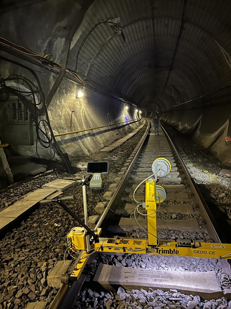
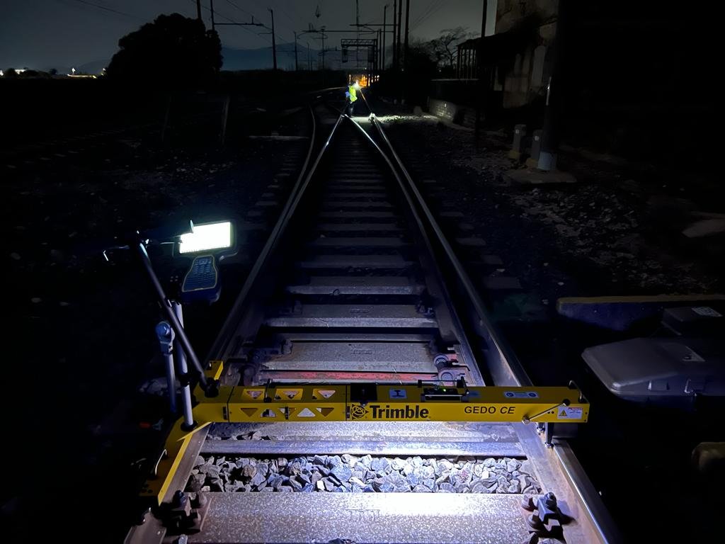
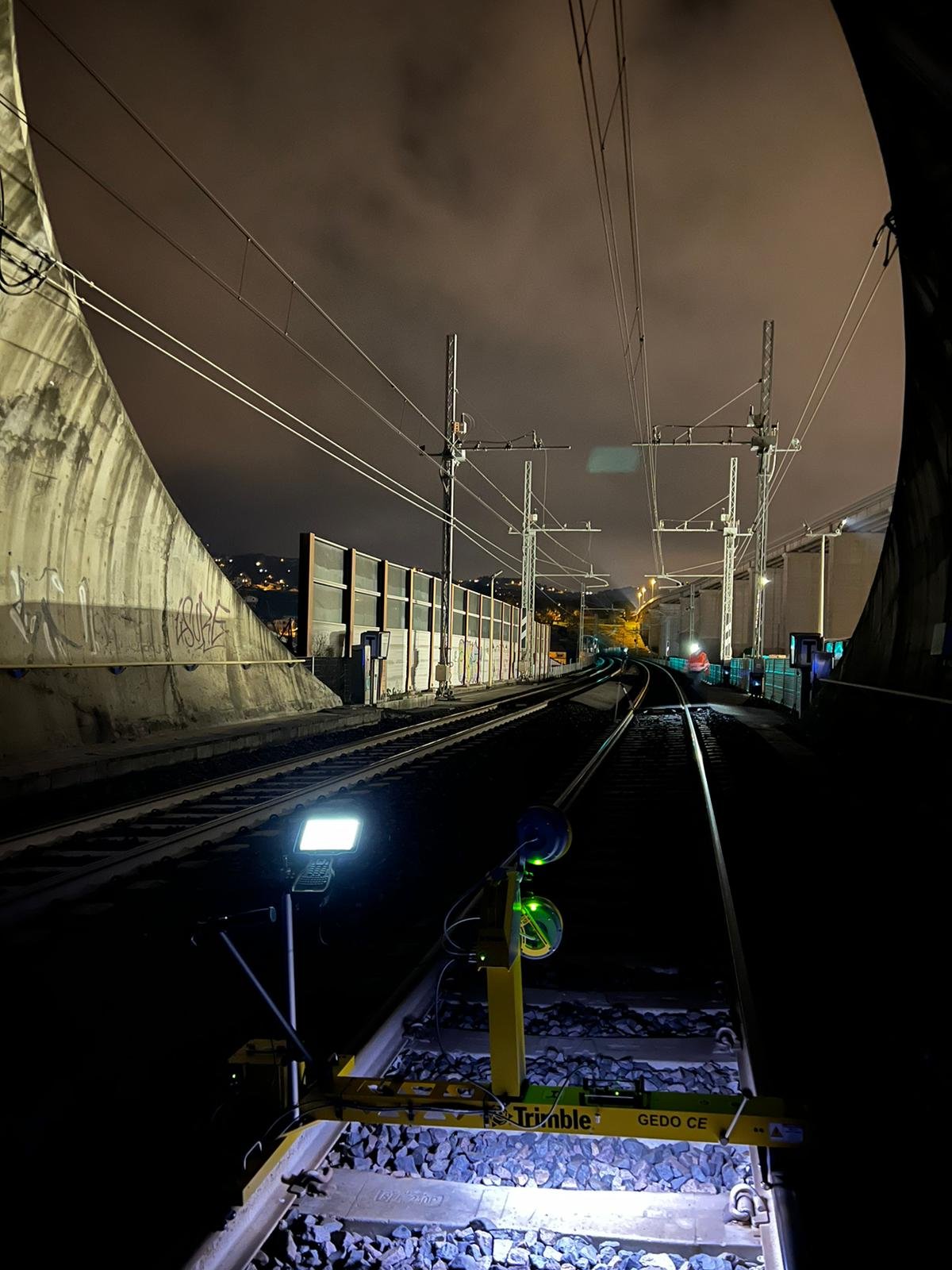
Control networks, rail alignment surveys, precise levelling and as-built verification for transport corridors.
3D Laser Scanning for Complex Structures
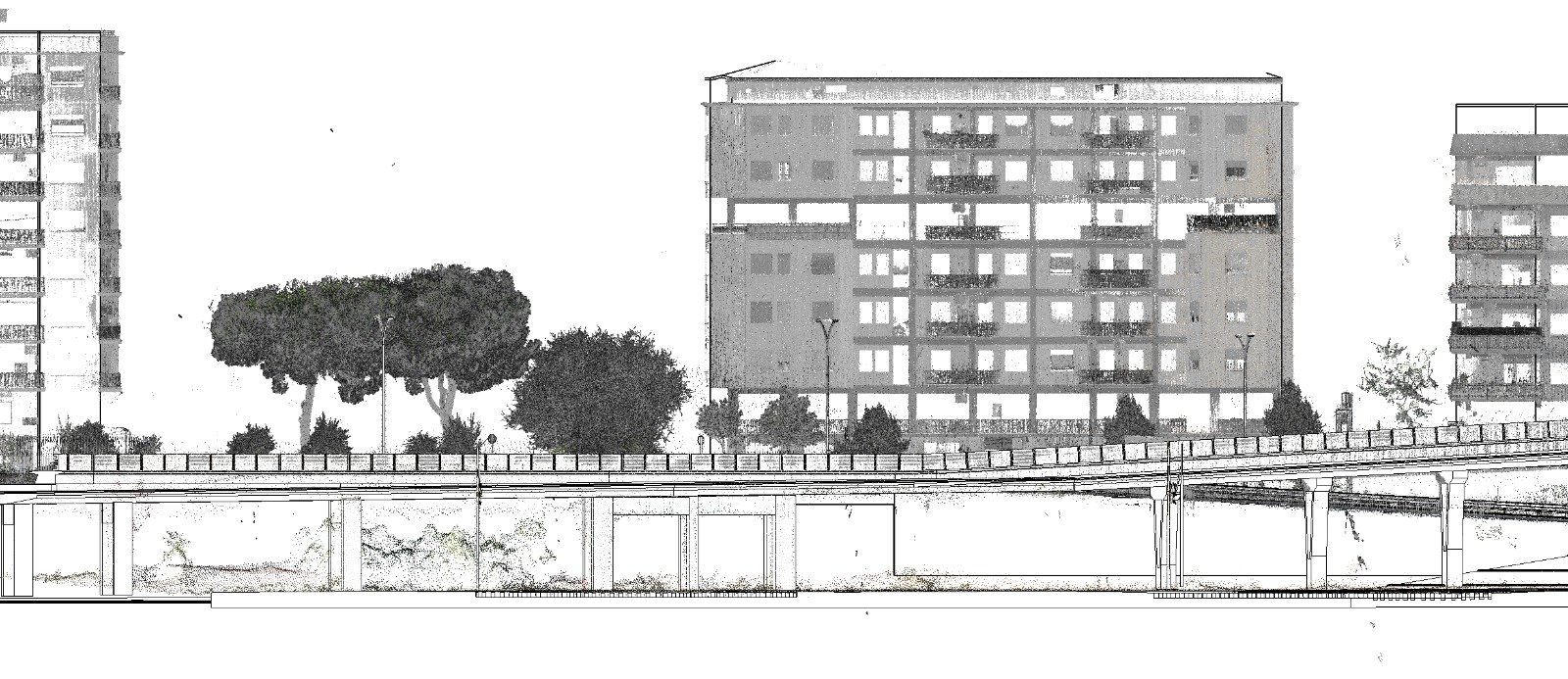
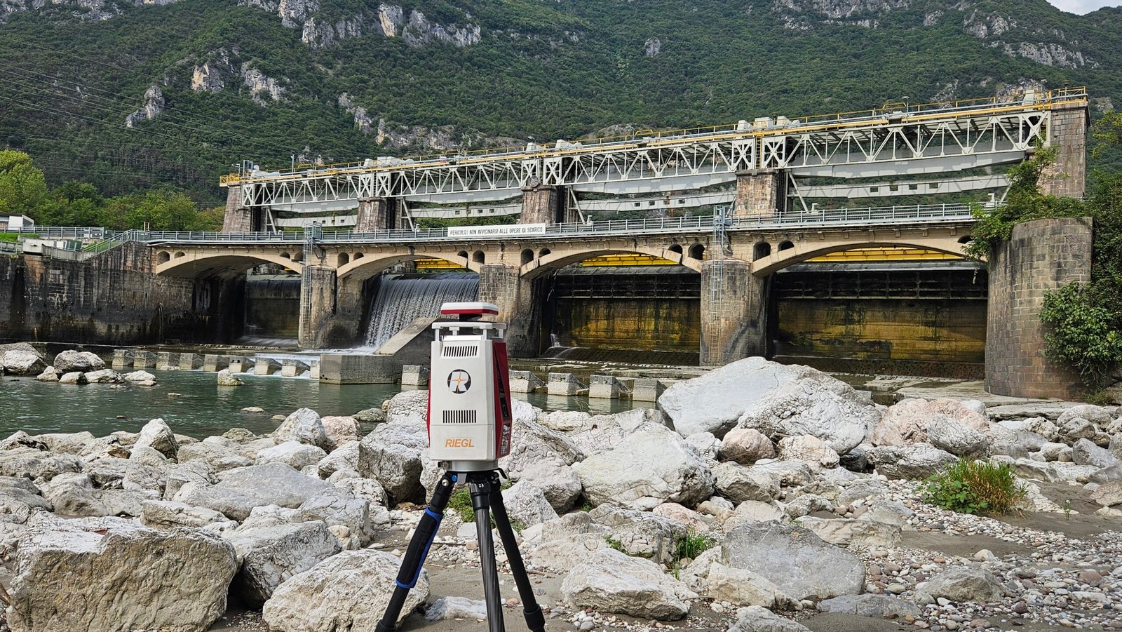
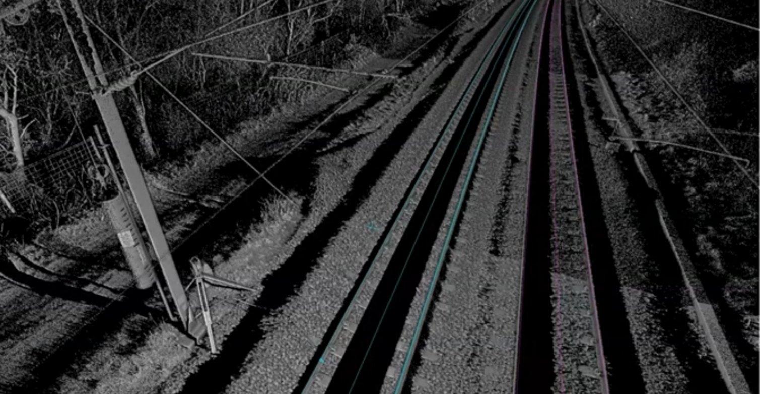
Terrestrial laser scanning captures dense 3D data for bridges, stations, industrial assets and complex structures.
UAV LiDAR for Large-Area Mapping
UAV LiDAR and photogrammetry accelerate mapping of large sites while reducing field exposure and disruption.
Construction and Asset Monitoring
Repeat surveys and structured datasets support deformation checks, construction progress and long-term asset management.
Selected Fieldwork
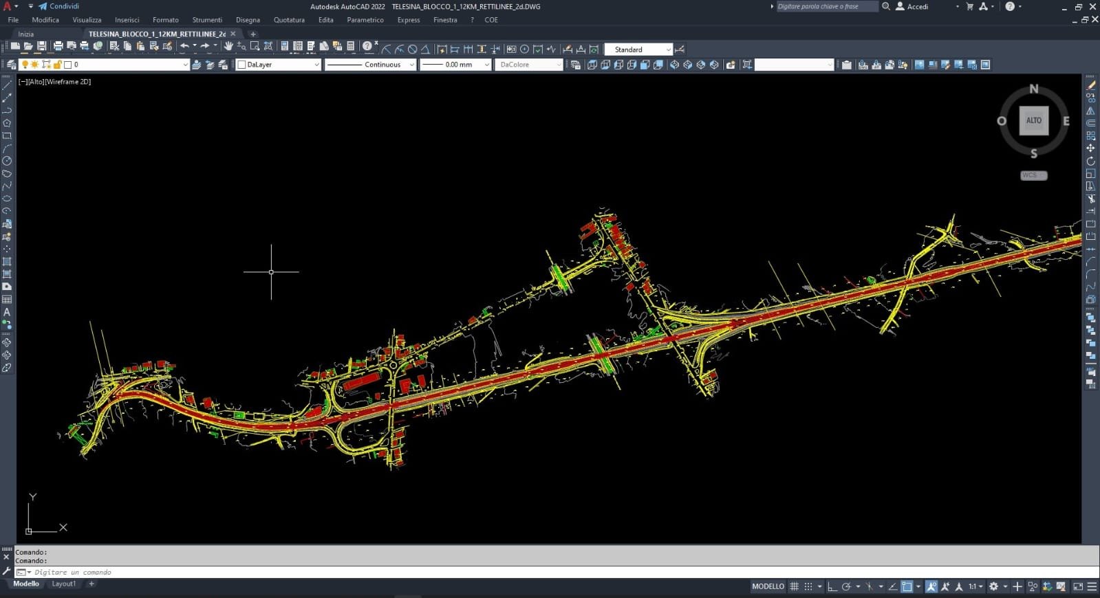
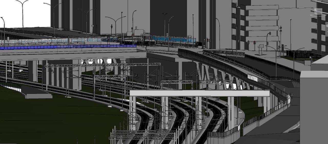
Survey and reality-capture activities across transport, construction and infrastructure environments.
Delivery Approach
From Scope to Actionable Data
Every engagement is planned around the decisions the client needs to make. We define the required accuracy, choose the right sensors and deliver clear outputs for engineering, CAD, GIS and BIM teams.
Field engineering, rigorous QA/QC and practical data integration.
01
Project Definition
Scope, accuracy and control
Confirm objectives, coordinate systems, tolerances and required deliverables before mobilisation.
02
Field Acquisition
Surveying and reality capture
Collect high-quality site data safely and efficiently, then process it into decision-ready outputs.