Topographic Survey

A close-up of a surveying instrument, specifically a total station, mounted on a tripod. The instrument features an orange cylindrical target with a reflective surface and a black and yellow square backing with a cross pattern. The background is blurred, showing some cars and trees, suggesting an outdoor setting.

Laser Scanning

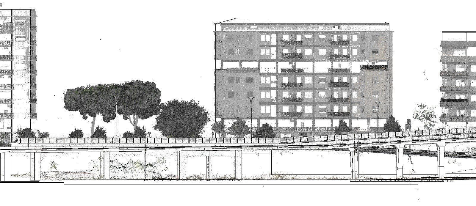
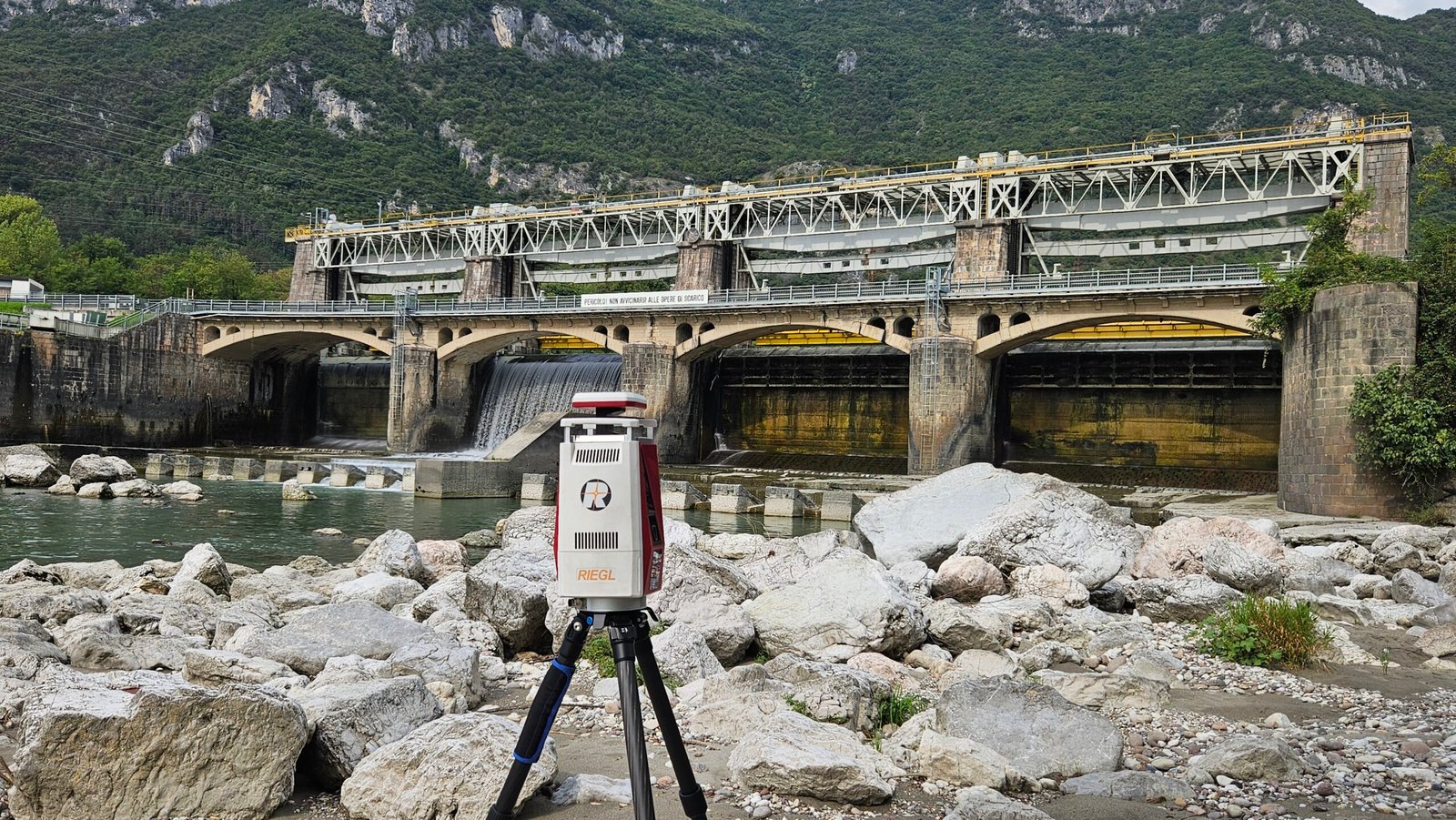
Using laser scanners, we capture precise 3D data to help engineers visualize complex structures with clarity.
A person is intently working with a modern surveying instrument, adjusting its components. The equipment has an orange and white body, with a digital display and various controls, suggesting precision and technical usage.

Mobile Mapping

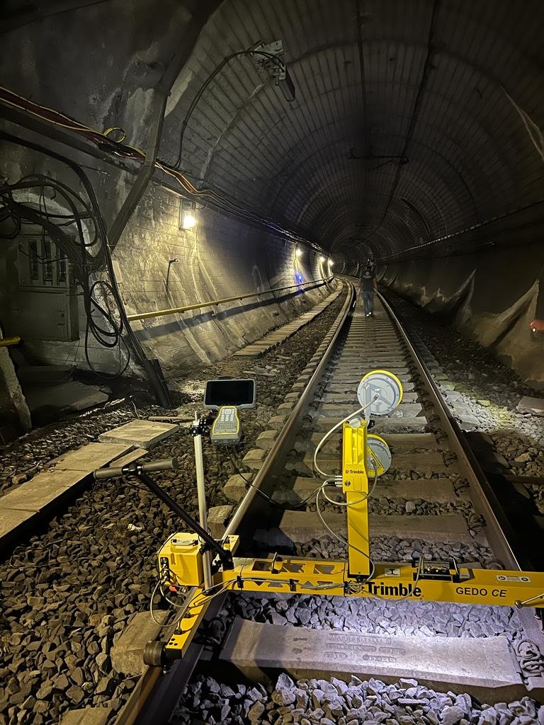
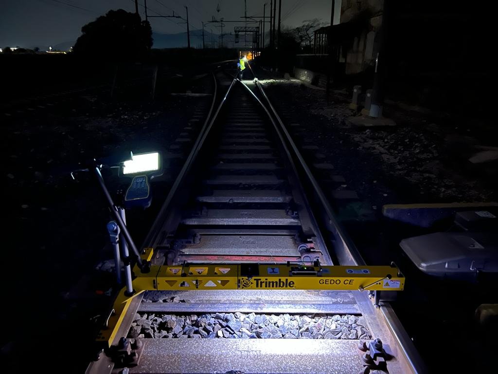
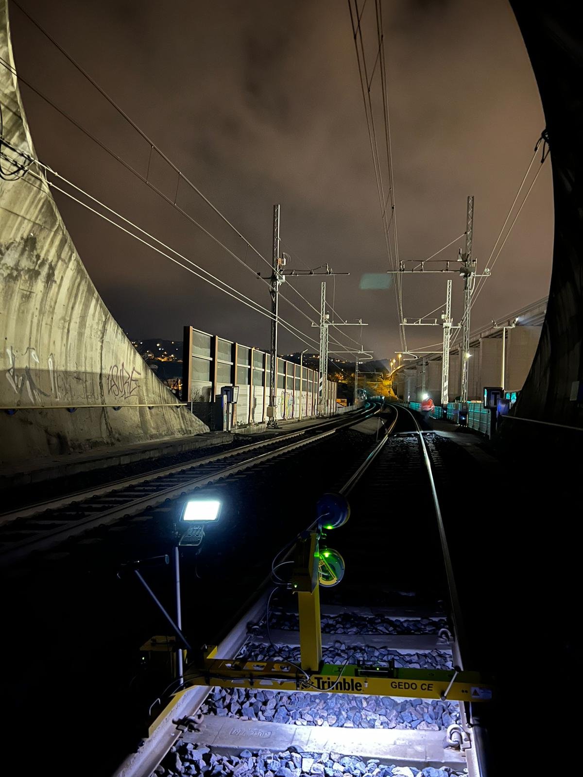
Our mobile mapping solutions gather real-time spatial data efficiently across large sites and urban areas.
A person is viewing a map with red data points on a computer monitor, likely indicating a geographical distribution. The image has a focus on technology and data analysis.

BIM Services

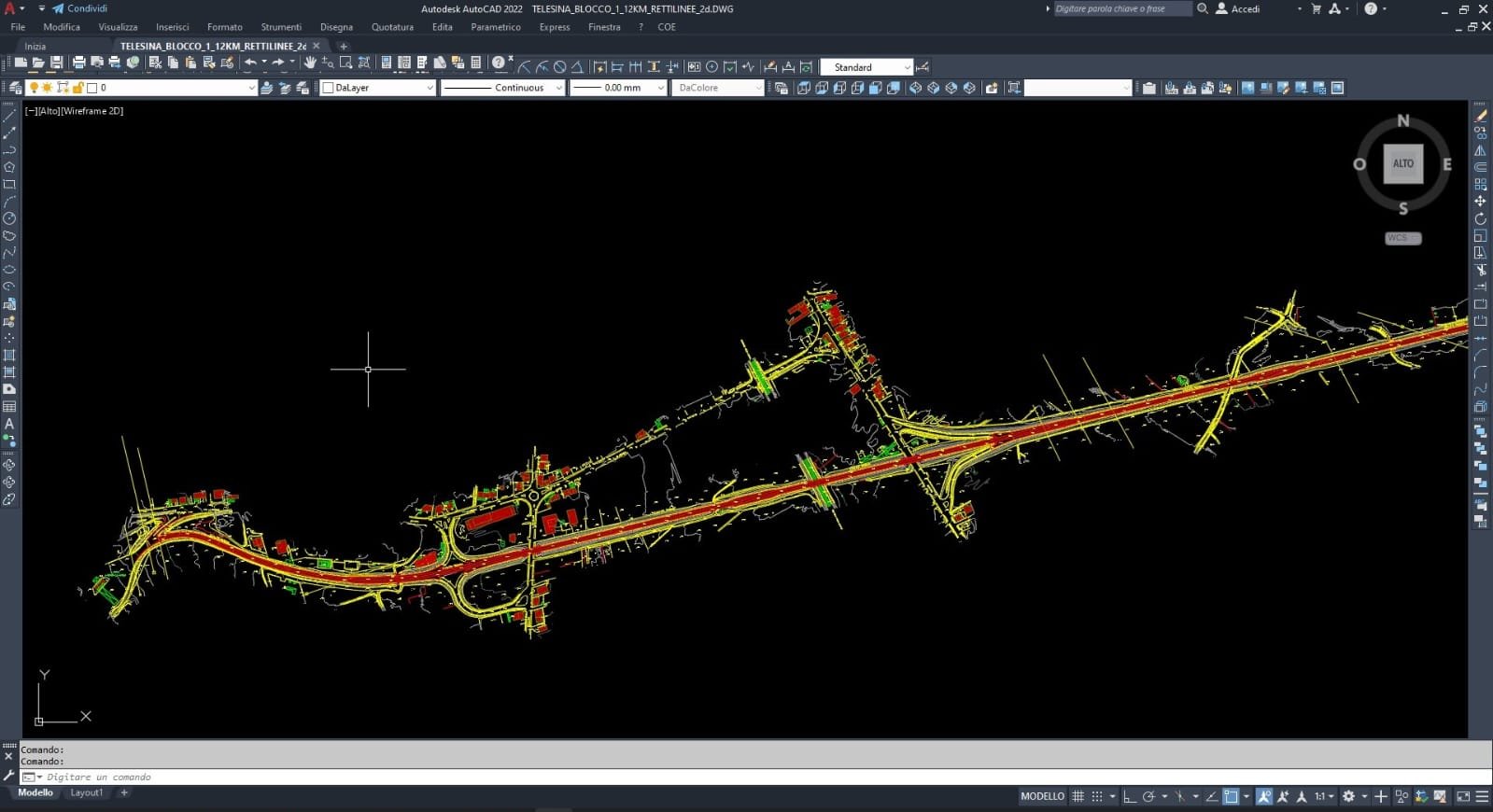
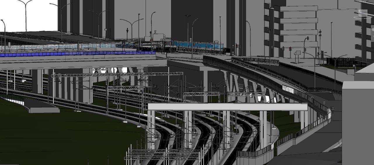
We integrate Building Information Modeling to streamline project planning and improve collaboration.
A wall display in a public service area with digital service sections. It features a large image of a smiling woman with glasses in the center, surrounded by digital screens and icons representing different electronic services. There are two orange kiosks with touch screens for self-service on the right side.

Mobile Mapping

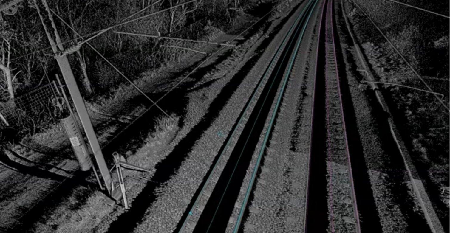
Continuous monitoring services ensure structural safety and timely detection of any shifts or changes.

Our Work

Snapshots from recent projects showcasing topographic and BIM expertise.

A busy automotive workshop with multiple cars being serviced. One car is elevated on a lift, and a mechanic is working nearby. Several signs and banners with automotive-related text hang on the walls. The environment is industrial, with metal roofing and visible beams.
A woman wearing a red safety helmet and yellow earmuffs operates a surveying instrument mounted on a tripod. She is standing in a construction area with a compact excavator in the background. Her casual attire includes a white eyelet blouse and blue jeans, and she is holding a digital level.
A vintage, detailed topographic map displaying various geographical features, roads, and names of locations. The map appears to be old, with a sepia tone and visible creases, indicating wear and age.
A miniature scene depicting a construction site with a small figure in a yellow jacket performing surveying work. Nearby is a trailer-mounted piece of machinery on a dirt road, with blurred greenery in the background.

Our Roots

Our Journey

Techtopo Solutions began as a small team passionate about precise topographic surveys and advanced laser scanning technology.

We quickly grew, embracing mobile mapping and BIM integration.

Early Experience

Fieldwork

2010 – 2014

We quickly grew, embracing mobile mapping and BIM integration.

Growth Phase

Office

2015 – Present

Expanding services to monitoring and BIM has broadened our expertise.